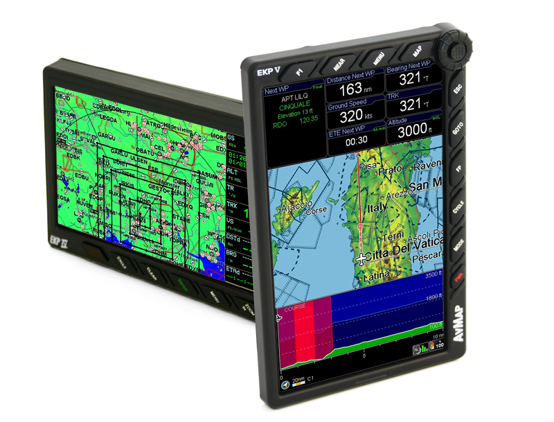
EKP V Technical Specifications
$ 2099.00 Buy Now
Hardware & Software
Hardware |
|
|---|---|
| Dimensions | 4.3” x 6.8” x 0.8” |
| Weight | 14.1 Oz |
| Display | 7” (16:9) LCD TFT, 64k colors |
| Display Resolution | 800 x 480 pixels |
| Display Brightness | 600 cd/m2 |
| Automatic Brightness Control | |
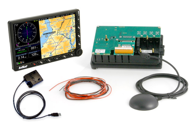
| Built-in high sensitivity GPS receiver with WAAS position accuracy |
|
| Micro SD preloaded with software and maps | |
| Power supply | external 10/35 V DC with cable adapter |
| Battery | lithium-Ion, removable, rechargeable |
| Consumption | max 10 Watt |
| Speaker | |
| USB OTG master / slave | |
| Temperature range: -20+60° operative / -30°80° storage | |
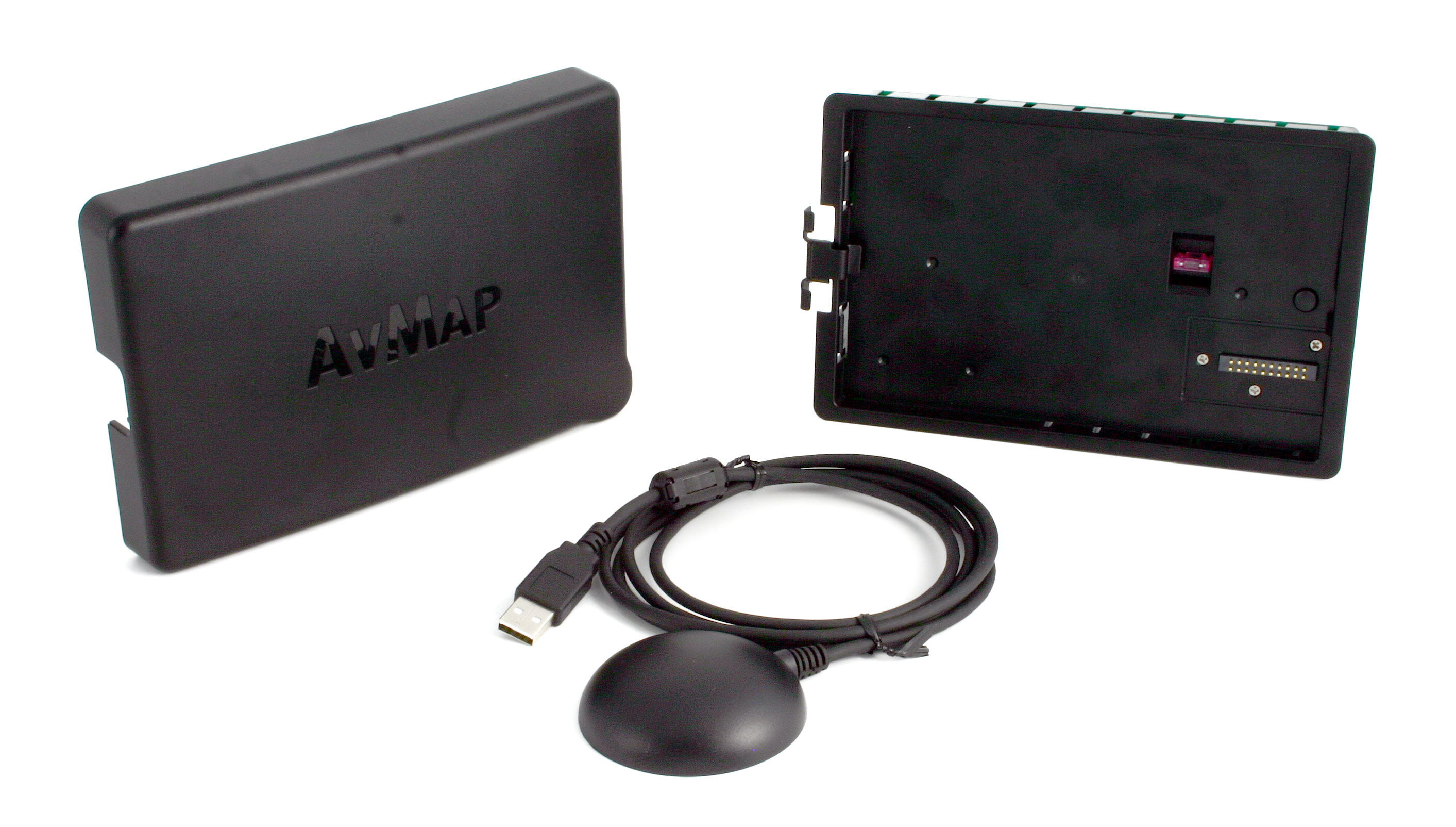
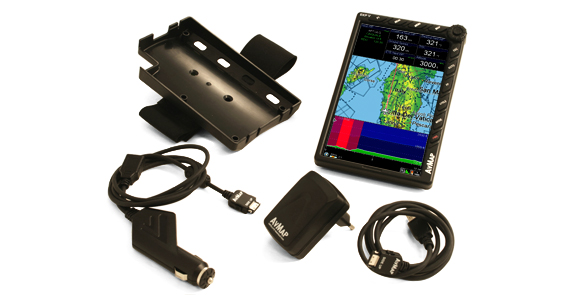
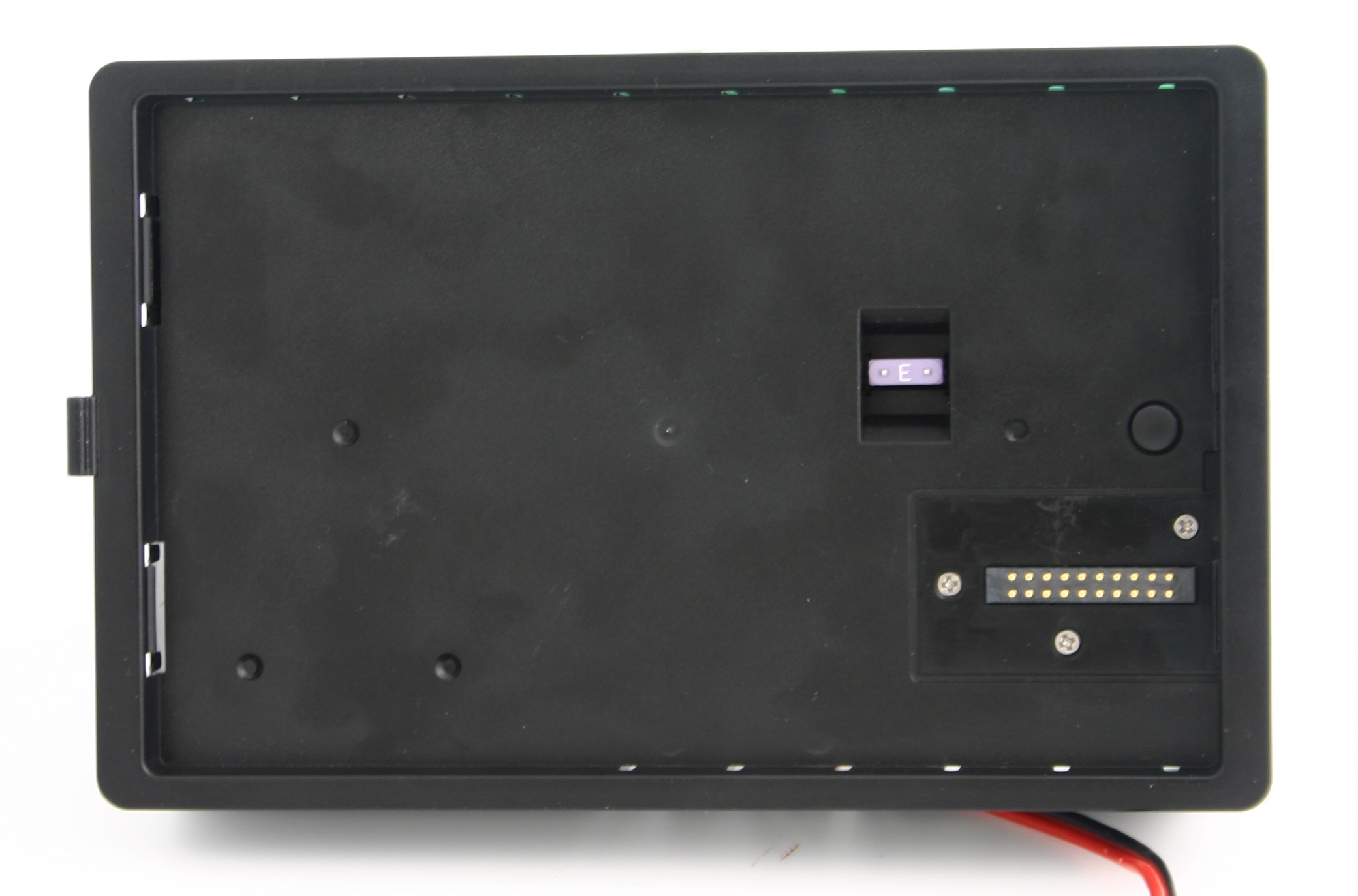
| Cockpit installation: through optional Cockpit Cradle Kit or Cockpit docking station |
|
Software |
|---|
| Horizontal / Vertical view |
| Night Vision |
| Go to smart menu (cursor, Airports, VOR, NDB, Intersection, Address, POI, User Point, LAT LON) |
| Nearest Airport quick search |
| Set a street address as destination |
| Electronic flight bag: airport info, diagram and approach plate |
| Full flight planning capability, up to 15 flight plans of up to 100 legs each |
| Flight plan page with vertical profile |
| Vertical Profile on map |
| Airspace alarm and Flight plan Airspaces check |
| Full or split HSI / RMI screen with data fields |
| Full simulator functions |
| Fully customizable display: choose what to see and where! |
| Editable checklists to prepare your aircraft for the flight |
| Customizable profiles for each aircraft with different TAWS settings, map configurations etc. |
| SAR: Search and Rescue Patterns |
| Import and export flight plans, waypoints and routes from Navigator to PC |
| Compatible with the most popular flight planning services: import flight plans from Rocket Route, iFlightplanner and Google Earth |
| Free Software Updates |
Extensions available through
|
|---|
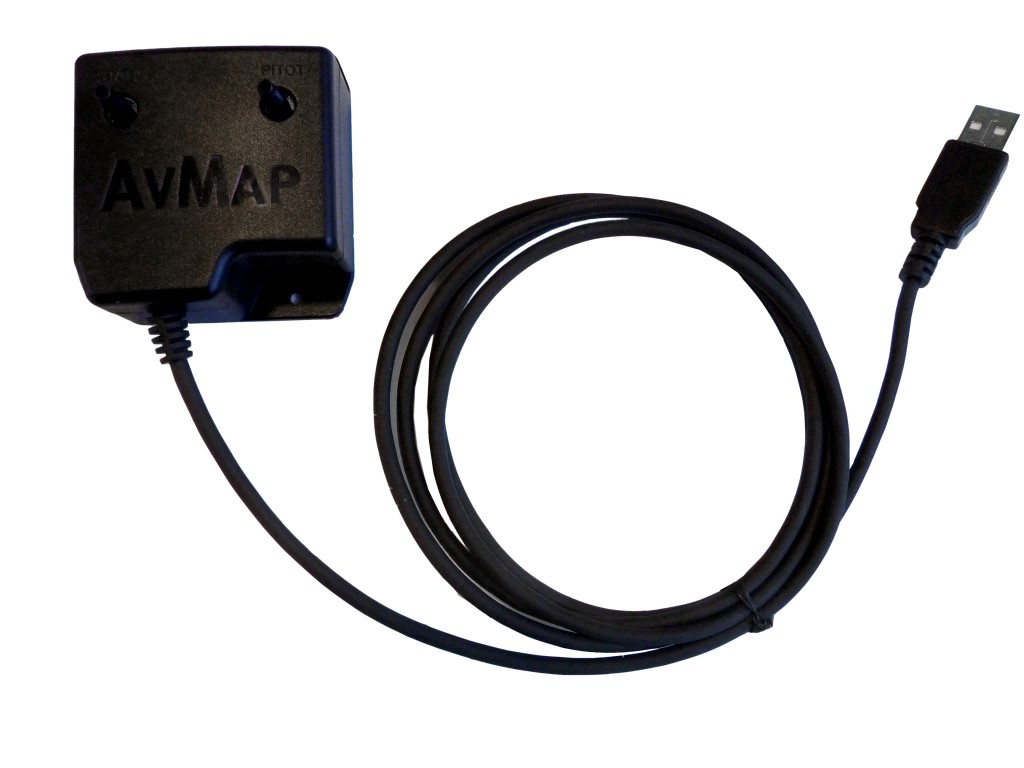
| EFIS: when connected to optional A2 ADAHRS module |
| Traffic: when connected to optional Collision Avoidance Systems receiver |
| Video: when connected to optional video camera |
| Weather info: when connected to optional weather receiver such as XM WX Wxworx |
Maps |
|---|
| Jeppesen Database |
| Street Database by HERE |
| Airport diagrams |
| Approach plates |
| FAA VFR charts ( North America only) |
| Selective display: select which data to display at every map scale |
| Map cycles builder: create 3 customized map views choosing objects to be shown |
| Import your own charts through the AvMap Suite |
EKP V vs EKP IV
Preloaded Maps
Coverage: North America
Micro SD card preloaded with:
-
North America Background (elevation model, overview and major roads)
-
North America Aeronautical Database (Jeppesen database)
-
North America street network and Points of Interest: Canada, USA and Mexico (by HERE)
-
Airport Diagrams and Approach Plates of United States (by Seattle Avionics)
-
USA FAA charts for VFR navigation.
EKP V Support
EKP V
$ 2099.00 Buy Now
You may also like
AvMap Avionics system
Cockpit Docking Station
As Adahrs
Flying with AvMap
Aerostars: the stars of the American sky

Aerostars: the stars of the American sky
Among the most recognized precision aerobatic teams in the United States, Aerostars perform breathtaking barrel rolls and dramatic opposing manoeuvres in their Yak-52TW warbirds.
Dancing in the Sky with the Blue Voltige

Dancing in the Sky with the Blue Voltige
“The Blue Voltige” is a patrol of dancing-vintage-motorgliders formed by Fabio Iannaccone & Ivan Prizzon from Treviso, performing a very emotional flight show.
The Flight Around the World

The Flight Around the World with AvMap
The amazing adventure of Detlef Heun and Liliana Tagliamonte: flying around the world for 4 years.
EKP V: A Guinness performance

EKP V: A Guinness performance!
Roberto Bisa (pilot) and Antonio Forato (rally champion) enter the Guinness World Records for having flown 22,000 km with two ultralight aircraft with the help of EKP V GPS.
Avionics Products
AvMap Avionics System